The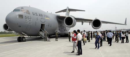 US has agreed to provide satellite imagery to China to assist in that nation’s assessments of damage to key infrastructure in its earthquake-stricken Sichuan province, DOD announced May 19. China specifically requested imagery of dams, reservoirs, roads, and bridges, and the National Geospatial-Intelligence Agency was preparing to provide these images as soon as May 19, weather permitting, said Pentagon spokesman Bryan Whitman. The US has already airlifted nearly 200,000 pounds of relief supplies to the Chinese in two C-17 flights May 18. Whitman said, while no additional flights are scheduled, the US military stands ready to deliver more assistance, if requested. The US military also continues its activities to aid the survivors of Tropical Cyclone Nargis in Burma. Five Air Force C-130s flew relief supplies into Rangoon May 19, bringing to total number of C-130 relief missions there to 31 since they started on May 12. These aircraft have ferried more than 727,000 pounds of water, food, mosquito netting, shelters, medical supplies, hygiene supplies, and other relief, according to the Pentagon.
The Air Force has embraced new technical approaches like open mission systems and rapid software updates for cutting-edge aircraft like the B-21 and Collaborative Combat Aircraft. Increasingly, though, the service is also working to apply these to its older, “legacy” aircraft, officials said this week.