EWS-G is an environmental data collection constellation for military weather forecasting over the Indian Ocean region. The system uses EO/IR sensors to image cloud layers and analyze environmental conditions in support of military operations and planning. EWS-G uses a Solar X-ray Imager (SXI) to map cloud cover in tandem with a sounding sensor that measures vertical temperature, humidity, and ozone layers. The satellites are also equipped with radiation and energetic particle sensors to monitor solar activity and electromagnetic “space weather,” as well as a search and rescue transponder to extend aircraft, vessel, and personnel distress beacons. Data is transmitted to a Remote Ground Station (RGS) in Dongara, Australia, and relayed to DOD weather centers for analysis, forecasting, and dissemination to tactical users.
The first satellite, EWS-G1 was launched as the National Oceanic and Atmospheric Administration (NOAA) Geostationary Operational Environmental Satellite (GOES)-13 in 2006. It was replaced on orbit in 2017 and subsequently transferred to the USSF to fill a gap in meteorological coverage in September 2020. EWS-G1 reached the end of its planned service life in February 2024, and USSF secured transfer of a second satellite (former GOES-15) redesignated EWS-2, which was maneuvered to a new geostationary orbit over the Indian Ocean in 2023.
EWS-2 will provide coverage through 2030 or beyond. An Orion Space Systems cubesat launched as a technology demonstrator on March 4, 2024, and General Atomics Electromagnetic Systems is developing a full-scale purpose-built EWS platform, with the first planned for launch in 2026. The company is on contract to deliver an initial two satellites to begin replacing DMSP alongside the WSF-M satellites. USSF estimates the DMSP constellation will reach the end of its useful life by 2026.
Electro-Optical/Infrared Weather System-Geostationary Technical Data
Contractors: Boeing; Orion Space Solutions (cubesat demonstrator); General Atomics Electromagnetic Systems (future EWS satellite).
Operator/Location: USSF CFC, Mission Delta 2 (DEL 2), 19th Space Defense Squadron (19 SDS), NAF Dahlgren, Va.; National Oceanic and Atmospheric Administration Wallops Command and Data Acquisition Station (WCDAS), Va.; NOAA Operations Facility, Suitland, Md. (backup).
First Launch: May 24, 2006.
IOC: 2020 (with USSF).
Design Life: 14 yrs.
Launch Vehicle: Delta IV.
Constellation: Four low-Earth orbit (LEO).
Active Satellites: •EWS-G1. Formerly NOAA GEOS-13, launched in 2006; active. •EWS-G2. Formerly NOAA GEOS-15, launched in 2010; active. •EWS-Cubesat. Sensor technology demonstrator, launched in 2024; active .
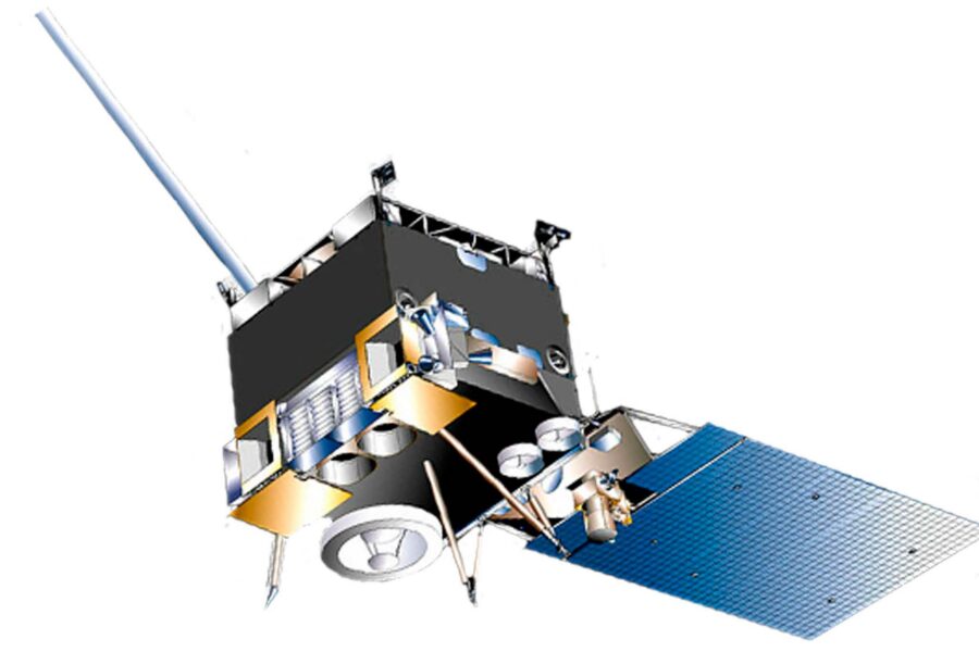
Dimensions: 13.7 x 6.16 ft x 9.5 ft with 27.5 ft solar array (deployed).
Weight: 7,075 lb at launch.
Performance: Geostationary orbit; provides constant near-real-time coverage of the Indian Ocean region.
Orbit Altitude: 22,236 miles.
Power: Solar array generating 2,300 watts.