Space Based Infrared System provides advanced space surveillance and missile warning, battlespace characterization, and technical intelligence gathering. It is the follow-on to the Defense Support Program satellite.
The system includes IR sensor payloads on host satellites in highly elliptical orbit (HEO), two IR sensors each on dedicated satellites in geosynchronous Earth orbit (GEO), and ground assets. The HEO sensor detects launch of submarine-launched ballistic missiles (SLBMs) from the North Pole region and can be tasked for other IR detection missions.
GEO scanning IR sensor performs the strategic missile warning mission, global technical intelligence, and initial phase for the strategic missile defense mission, providing two times the revisit rate and three times the sensitivity of DSP.
USAF announced plans to allow civil use of SBIRS data to aid weather prediction, Arctic ice monitoring, and wildfire tracking. GEO-3 launched into orbit Jan. 20, 2017, after delays to validate the performance of its liquid apogee engine. GEO-4 launched on Jan. 19, 2018. GEO-5 and GEO-6 will be based on a modernized spacecraft and will be launched earlier than planned, in 2021 and 2022 respectively. These satellites will replace the oldest two on orbit and begin migrating ground control to the next generation Enterprise Ground Service (EGS) aimed at consolidating control of multiple satellite systems.
USSF also awarded Raytheon a $197 million contract in 2020 to modernize ground data processing. USAF canceled the final two GEO satellites and is shifting funds to develop the Next-Generation Overhead Persistent Infrared (OPIR) system.
OPIR is the most ambitious satellite program, totaling $2.3 billion for FY21. The constellation will comprise three GEO satellites and two polar HEO sensors. Delivery of the first satellite is expected by 2027, with IOC planned for 2029. Lockheed Martin delivered the fifth GEO satellite (GEO-5) in late 2020 for launch on May 17.
Contractors: Lockheed Martin (prime contractor); Northrop Grumman (payload); Raytheon (data processing modernization).
Operator/Location: USSF SpOC; Schriever SFB, Colo.
First Launch: GEO 1, May 2011.
IOC: GEO 1, Dec. 5, 2008. (Increment 1, Dec. 8, 2001)
Launch Vehicle: Atlas V (GEO). Planned: Delta, Falcon 9.
Constellation: Four GEO sats, two HEO sensors and two HEO on-orbit reserve (hosted).
Active Satellites: •SBIRS HEO-1. Payload operational in 2008; on-orbit reserve. •SBIRS HEO-2. Payload operational in 2009; on-orbit reserve. •SBIRS HEO-3. Payload operational in 2015; active. •SBIRS HEO-4. Payload operational in 2017; active. •SBIRS GEO-1. Launched in 2011; active. •SBIRS GEO-2. Launched in 2013; active. •SBIRS GEO-3. Launched in 2017; active. •SBIRS GEO-4. Launched in 2018; active.
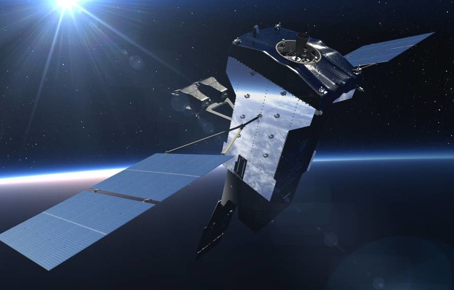
Dimensions: 49 x 22 x 20 ft (GEO on orbit); 7 x 4 x 3 ft (HEO sensor).
Weight: 5,525 lb (GEO on orbit).
Orbit Altitude: Geosynchronous and high elliptical.
Power: Solar array, 2,435 watts (GEO), batteries.