LAS VEGAS—The jamming of GPS signals around Ukraine has become so severe it is even affecting satellites up to 1,200 miles above the Earth’s surface—a striking example of why the Space Force and the Pentagon are moving to bolster the ubiquitous service, experts say.
“We have images showing [GPS reception details] for all the cubesats that the Aerospace Corp. flies in low-Earth orbit, and there’s a giant hole above the Ukraine region,” John Janeski of the Aerospace Corporation, a federally funded research and development center, told Air & Space Forces Magazine on the sidelines of ASCEND, an annual industry space conference.
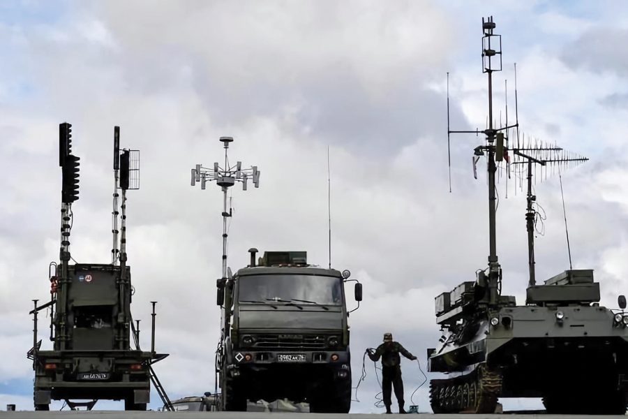
Both Russia and Ukraine are broadcasting powerful signals to interfere with guidance systems for precision weapons and drones. But that jamming “is bleeding up into the space environment and impacting satellites,” Janeski said.
The center’s tiny 10-cubic centimeter satellites are fitted with GPS receivers, so they can tell what time it is, where they are and how fast they’re moving, Janeski said. Given the speed at which LEO satellites orbit over the Earth—about 17,500 miles per hour—the interference only affects them for “a few minutes” at a time as they pass over Ukraine.
“But if that becomes more and more prevalent, it could create regions in space where satellites in LEO cannot get [position, navigation and timing] signals from medium-Earth orbit” where GPS and other PNT constellations are, 11,000-15,000 miles above the surface, Janeski said.
GPS jamming, interference, and spoofing have become common, well-known features in areas of conflict like Ukraine and the Middle East, affecting aviation and maritime traffic. The effects on other satellites have been less reported—but could be no less critical.
Satellites in large LEO constellations like SpaceX’s Starlink need to know exactly what time it is and where they are so they can synchronize operations with other satellites in the constellation and know when and how to send signals to the ground. And the Defense Department is aggressively expanding how much it uses such constellations—the Commercial Space Office expanded its Proliferated Low Earth Orbit (PLEO) Satellite-Based Services program from a maximum of $900 million to $13 billion late last year, citing demand across DOD.
Indeed, most satellites in low-Earth orbit use GPS—another reminder of how ubiquitous and essential in the global economy, said Christopher Erickson, PNT chief for the assistant secretary of the Air Force for space acquisition and integration.
Most people think of GPS as a way find their way around, Erickson said, stressing he was speaking in a personal capacity and not representing the views of the Air Force or the Defense Department. But in fact, for businesses and the global economy, the timing service it offers is even more important.
The financial system, the power grid, the internet, and indeed any computer network all need exact timing to operate properly, he said, a fact that is poorly understood.
“Many [enterprises] don’t even know what their timing requirement is,” he said. “If you are making an autonomous taxi, or whatever, and you put GPS in it, it has fantastic time. If suddenly you don’t have GPS, what kind of timing requirement does that car need for its systems to operate properly? How do you know? You never had to solve that problem.”
Jamming and Anti-Jamming
Both the Pentagon and private businesses can no longer afford to take GPS for granted, Janeski warned, in no small part because its signals are relatively easy to jam. While satellite communication signals “blast out,” GPS signals are inherently quieter, he said.
“It’s like a noisy room,” he explained, “A SATCOM signal would be like somebody yelling in that room. You can hear them clearly. A GPS signal would be somebody whispering.” Normally, because you know the signal’s code structure, “the receiver can basically pull it out of the noise floor and process it.” But the weakness of the signal relative to the noise floor makes it “relatively straightforward to interfere with, as we’ve seen,” he said.
Spoofing is somewhat harder, but the state of technology is such that Janeski said it is “certainly feasible” both nation states and extremist organizations could buy the hardware needed to do it.
“The good news,” Janeski added, is that there’s been progress developing anti-jamming technology to make “elements of GPS that might seem fragile, more resilient.”
Controlled reception pattern arrays, for example, are antenna systems that use multiple antenna elements. The receivers sense where the strong interference signal is coming from and shut off the antenna’s reception from that direction. Combined with sophisticated signal processing, Janeski said, these antennas “basically remove the jamming signal from the receiver’s processing chain, so that that jamming power doesn’t make it into the receiver, and the receiver can still operate.”
CRPAs are available commercially, although the more sophisticated models with a larger number of elements are restricted under arms export control regulations. “If you put one of those on an airliner, it can only fly domestic,” Janeski said, meaning they can’t currently be used to counter GPS jamming in Europe or the Middle East.
For the military, there are also more powerful, encrypted signals broadcast by the latest generation of GPS satellites, and even more anti-jamming improvements coming with future upgrades, according to Malik Musawwir, vice president for navigation systems at Lockheed Martin Space
Of the 31 satellites currently in service in the GPS constellation, eight of them are the latest generation, called GPS III, Musawwir explained. These satellites broadcast a new kind of GPS signal, known as M-Code. It’s more powerful and therefore more resistant to jamming, and also encrypted, which makes it very hard to spoof.
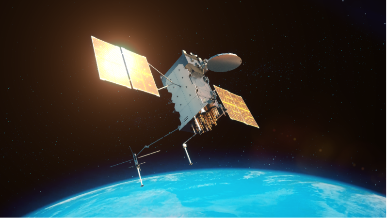
Two more GPS III satellites will be launched before the program transitions to the GPS III Follow-On satellite for vehicle 11 and beyond, Musawwir said. In addition to M-Code, the IIIFs will also have a new capability called regional military protection (RMP). RMP allows the satellite to focus an M-Code broadcast over a much smaller area, just 1,200 kilometers in diameter, meaning the signal is 60 times stronger.
“Think of it as putting your thumb over the end of a gardening hose and increasing the velocity of all the water that comes out of it,” he said.
Ultimately, the characteristics of the radio frequency spectrum and the distance that GPS transmissions have to travel means that physics favors the jammer, experts say. Which is why the Space Force is seeking GPS alternatives like quantum inertial positioning. But even a replacement positioning and navigation system, which would allow users to “limp through” GPS-denied environments, wouldn’t provide the crucial timing element, Janeski said.
“So there’s not one silver bullet out there,” he said. Like the internet, since GPS provides many different services, no single alternative would likely be able to replace all of them. “It’s like the internet goes down. What’s your favorite alternative to the internet?”
Editor’s Note: This story was updated July 29 to correct technical details.