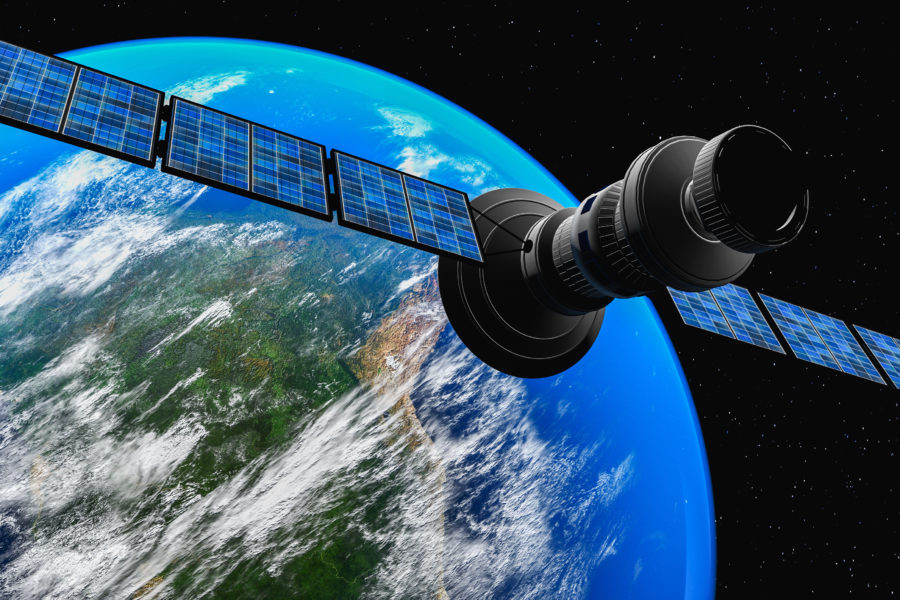
Multi-domain intelligence, surveillance, and reconnaissance (ISR) is a key tool for counterterrorism and counterinsurgency efforts in the post-9/11 era. But the recent Russian invasion of Ukraine is highlighting new use-cases for ISR as well as the advantages of integrating a hybrid approach – multiple types of ISR imaging satellites – to capture a fuller picture of developing threats.
“The modern threat is more advanced and it’s evolving to the point where we need these satellite-based ISR systems more and more because airborne systems are vulnerable,” said Jason Kim, CEO of Millennium Space Systems. “A wide range of ISR imaging capabilities is more important than ever. With the current conflict in Ukraine as an example, whether ISR is being used for the threat environment or for disaster relief, small satellites bring unique advantages to the table.”
Panchromatic imagery is a pivotal imaging sensor for military defense missions. Kim calls it, “the workhorse of ISR.”
“It supports battlespace awareness, technical intelligence, as well as other non-ISR applications like natural disaster response and humanitarian relief operations,” he said. “Panchromatic imagery provides useful insight into areas of interest, especially with image resolution getting better than ever as the technology advances.”
When used alone, panchromatic imagery has its drawbacks.
“One limitation of high-resolution panchromatic imagery is that as you get higher and higher resolution, your coverage area gets smaller,” Kim said. “This means your ability to look at large swaths of area suffers with higher resolution. Another limitation is that you need daylight and clear weather to get good images.”
But when combined with other types of ISR imagery, those limitations can be overcome.
“When you combine [panchromatic] with other types of imagery, like multispectral and hyperspectral, you can really increase things like spectral resolution and identification and detection of targets, enabling overall better image quality,” Kim said. “Together, these sensors help paint a complete picture of the battlespace and provide continuity of custody for the warfighter so that they never miss anything.”
Hyperspectral imaging, especially, can provide significant advantages for ISR missions.
“Hyperspectral imagery is different because it’s not based on high resolution, it’s breaking each image pixel down into hundreds of adjacent spectral channels,” Kim explained. “You’re not just looking at the spatial 2D image of the target, you get a better contrast from the background and information on the materials of the surface and the elements surrounding the atmosphere. A good example is detecting a methane gas leak.”
Kim says that’s why using multiple types of ISR imagery together is the future of space-based ISR missions.
“With its large swath of coverage, hyperspectral imaging is more of a bellringer in that it can tip and cue the high-resolution panchromatic sensors to look at the specific area warfighters are really interested in,” Kim said. “When hyperspectral is combined with panchromatic, it helps you find targets through camouflage to detect hard-to-find things like landmines by distinguishing between different surfaces. That’s why a hybrid approach of panchromatic and hyperspectral imaging gives you the best of both worlds in terms of capability.”
With a hybrid approach is implemented through a constellation of small satellites, more advantages can be realized through lower costs, e.g., low time latency between image collection and distribution.
“With the conflicts we’re seeing today occurring in large, countryside areas, if you have a ‘soda straw’ type of viewpoint that panchromatic imagers offer, it’s going to be very challenging to synoptically search an entire area in a very timely manner,” Kim said. “This would require a high number of satellite-based panchromatic sensors and that becomes an expensive proposition. But a low-cost constellation of small satellites enables frequent revisit times to refresh technology, keeping ahead of the threats and making coverage more affordable.”
“What makes Millennium different is that we can get more performance out of these hyperspectral imagers because we’re able to bring over two decades of experience supporting national security space missions,” Kim said. “We work very closely with our customers. We listen to them, and we work with them on providing the end-to-end solutions because at the end of the day, they need that data fast to win the mission and we’re able to focus on giving them solutions rapidly and affordably.”
ISR capabilities can be further enhanced with additional imaging sensors like Synthetic Aperture Rader (SAR) and Radio Frequency (RF) sensing.
“Customers need a diverse set of imagery because there is still that day-night weather challenge with panchromatic and even hyperspectral imagery,” Kim said. “The good thing about SAR and RF sensing is they can see and sense through the weather, no matter if it’s day or night and provide that additional capability on top of panchromatic, hyperspectral, and multispectral imagery.”
For current context, Kim points to the long Russian convoy that was based outside of Kyiv, Ukraine for several days.
“[The convoy] was parked on the roads for several days and if there’s no movement, that’s where RF signals could really come into play,” Kim said. “If everything is visibly static but you’re seeing a lot of radio signals, then you’re starting to get information that shows there’s going to be some impending change and movement. That’s an example of how the RF sensing can help.”
Similarly, because SAR relies on radar signals, it can also provide relevant information that isn’t visible with panchromatic, hyperspectral, or multispectral.
“SAR picks up radar signals that are pinging the background and the scenes even through clouds and poor weather,” Kim said. “You can then process that data and turn it into these virtual images and that allows you to look through the cloud cover and gives you that added information that you’re not always getting with the other sensing modalities.”
Using a variety of different sensing modalities to quickly identify areas of interest and to detect potential threats will enable time-critical decisions to be made on tactical timelines.
“Warfighters have to find, fix and track targets to engage and assess in what is called the ‘kill web,’” Kim said. “These ISR modalities are a critical part of that sequence of events and the faster we can do that with higher confidence in quality-assured data, the more you speed up that kill web. Speeding up that timeline for the warfighter will ensure they can perform what they need to do to keep us safe.”