The Space Force has a new satellite in the Indian Ocean region, ready to replace an older one.
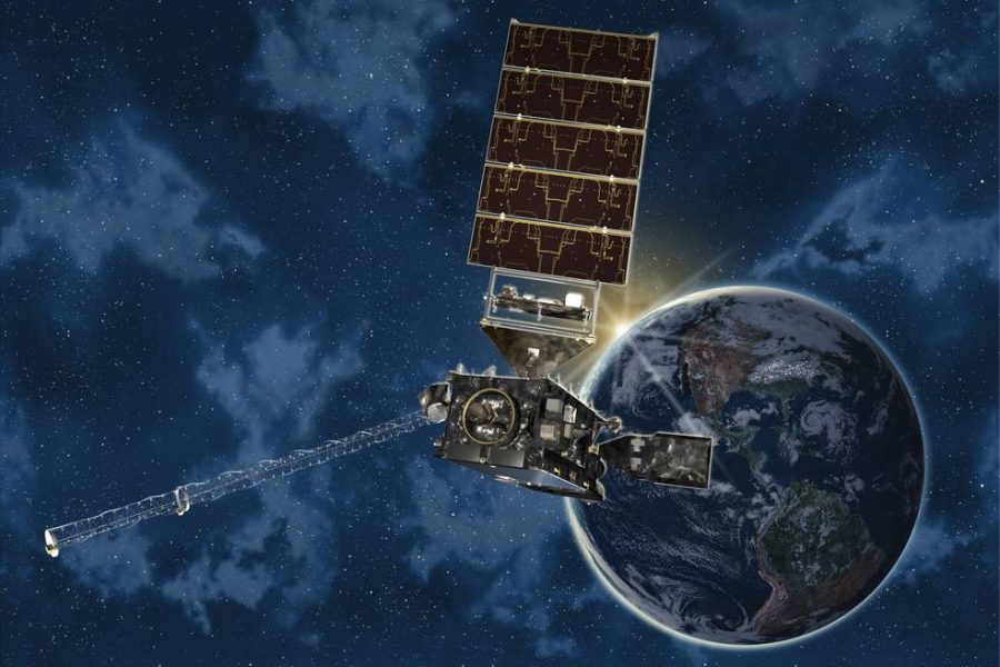
The USSF accepted the transfer of a second geostationary weather satellite (GOES) from the National Oceanic and Atmospheric Administration (NOAA) after getting the transfer approval from Congress in June 2023, the service announced Sept. 22.
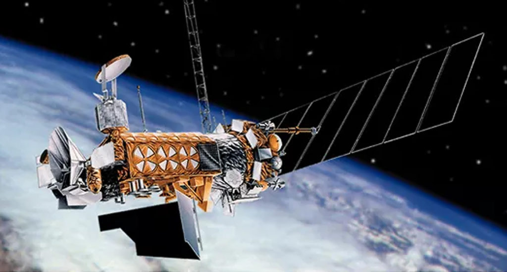
NOAA’s GOES-15 satellite has been rebranded as EWS-G2 and is set to take over for EWS-G1, the initial EWS-G satellite which has been operational since September 2020. EWS-G1 is projected to reach the end of its service life in February 2024, according to fuel consumption estimates. EWS-G2 is on track to reach its assigned orbital position in the Indian Ocean by November 2023 and the Space Force projects it will be in service until 2030.
However, a more accurate projection for the end-of-service time frame might emerge once EWS-G1 retires from operation, a Space Force official told Air and Space Forces Magazine.
The official added that Guardians are also actively exploring options for long-term regional coverage extending beyond 2030. This plan entails a thorough evaluation of various approaches, including follow-on acquisitions, interagency collaborations, and the utilization of commercial data and imagery sources.
NOAA’s GOES satellites provide advanced imagery and atmospheric measurements of Earth’s Western Hemisphere, real-time mapping of lightning activity, and improved monitoring of solar activity and space weather. The Space Force has leveraged its spacecraft to collect cloud imagery and perform environmental reconnaissance over the Indian Ocean region since 2020.
“The repurposing of GOES-15 and residual NOAA ground equipment accomplished the mission at a fraction of the procurement cost of a brand-new system,” Lt. Col. Joseph L. Maguadog, Space System Command’s EO/IR Weather System Program Office material leader, said in the statement.
The EO/IR(Electro-Optical/Infrared) Weather System – Geostationary satellite known as EWS-G gathers imagery essential for facilitating environmental reconnaissance and detailed cloud analysis by deployed forces in the area. Given the evolving nature of technology, the Electro-optical Infrared Weather System Program Office anticipates a continued expansion in the coming years.
The new satellite orbits around 22,000 miles above the Earth’s equator, moving at the same speed as the Earth’s rotation. The primary weather sensor on this satellite constantly captures both visible and infrared images of cloud cover, providing vital information for planning and executing military operations in the Indian Ocean Area of Responsibility. It plays a crucial role in assessing and forecasting the viability of air and surface missions, as well as measuring the performance of aircraft, weaponry, and munitions. Additionally, it aids in determining optimal timing and locations for operational activities, and contributes to the evaluation of logistical requirements, survivability, protective strategies, and the overall quality-of-life needs.
Just as it manages EWS-G1, NOAA will be responsible for managing EWS-G2 on behalf of the Space Force, conducting operations from both the NOAA Satellite Operations Facility in Suitland, Md., and the Wallops Command and Data Acquisition Station on Wallops Island, Va. The satellite will maintain its use of a pre-established Remote Ground Station in Western Australia, which was established in 2020 to assist the EWS-G mission.